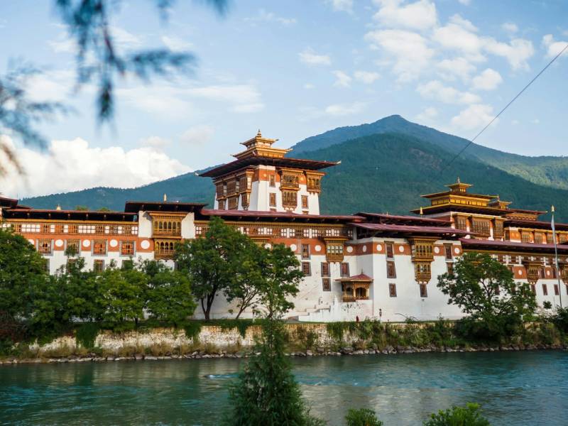
Chele La Pass
- Time needed
- Half a day from Paro, or a stop on the drive to Haa
- Altitude
- 3,988 m
- Best time
- October–November for clear views; April–May for rhododendrons
Highlights
- Highest point most visitors reach by road
- Views of Jomolhari on clear mornings
- Walk down to Kila Goemba nunnery
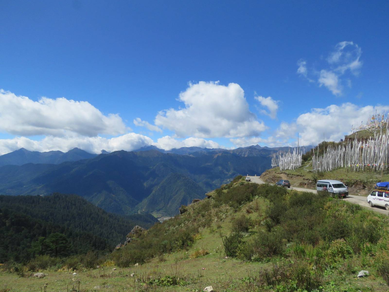
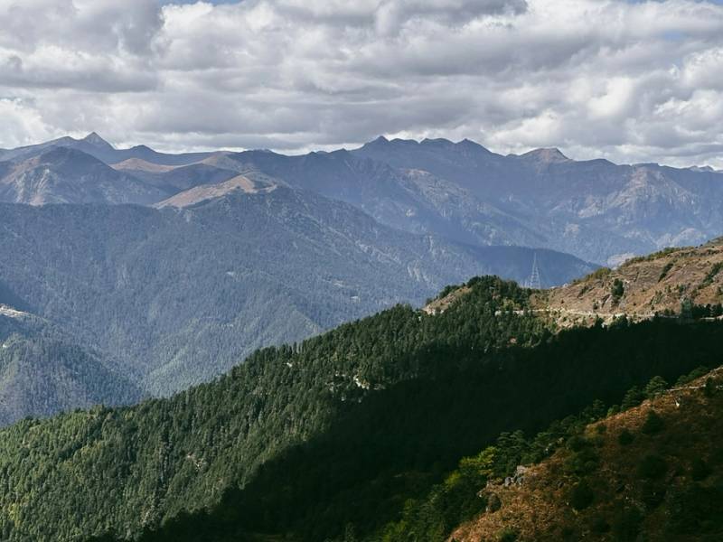
Chele La is where the road from Paro climbs over the ridge into the Haa Valley. La means pass in Dzongkha, and this one sits on the Bondey–Haa road about 35 kilometres from Paro and 26 kilometres from Haa. It is often described as the highest point on Bhutan’s road network. The most widely quoted height is 3,988 metres, though some sources give 3,810 metres. Either way, it is the highest most visitors get in a vehicle, and on a clear morning it gives you the snow peaks on the Tibetan border without a trek.
Most people see it in one of two ways: as a stop on the drive to Haa, or as a half-day trip from Paro with a walk down to the nunnery of Kila Goemba.
The road up from Paro
The road leaves the main Paro–Thimphu highway at Bondey, just below Paro town, and climbs well over 1,500 metres in 35 kilometres. It was built in the 1990s and is narrow and steep, with tight hairpins and long drops. The drive up takes about 1–1.5 hours. You leave the farmhouses of the valley behind and climb through forest towards the open, windswept top. Look back as you climb for views down the length of the Paro valley.
What you see from the top
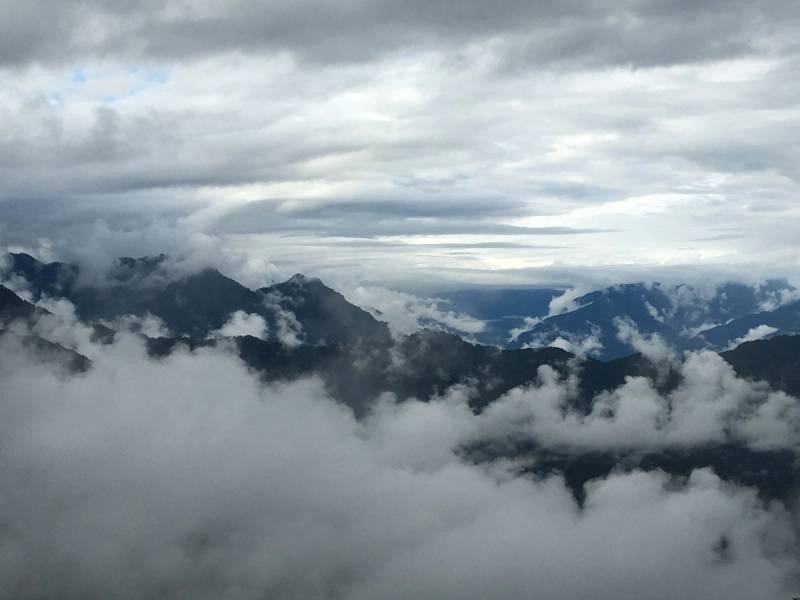
- The mountains. On a clear day Jomolhari, the great peak on the border with Tibet, and Jichu Drake stand out to the north-west. Clouds tend to build as the day goes on, so the earlier you arrive the better your chance.
- Two valleys. Paro lies behind you on one side and Haa opens out on the other.
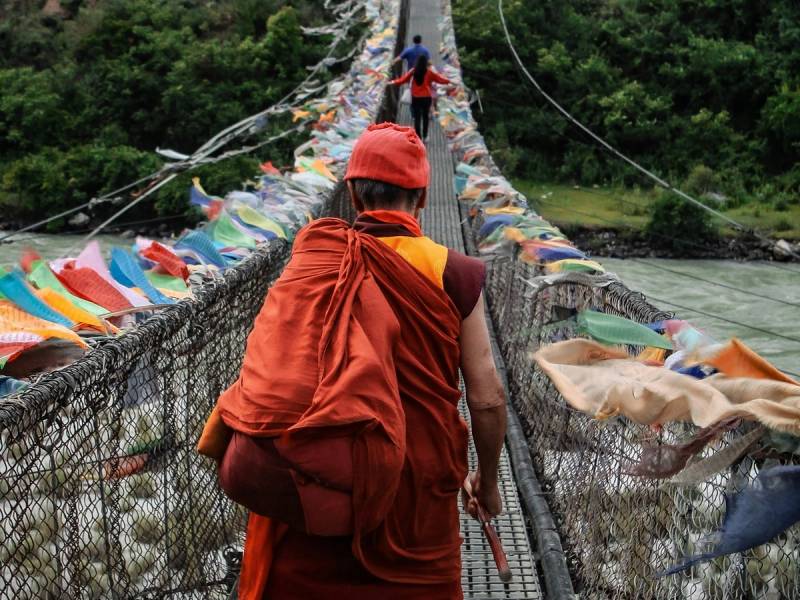
- Prayer flags. The pass is strung with lines of coloured flags and stands of tall white ones, which families raise for people who have died.
- Birds and flowers. Chele La is listed as an Important Bird Area. Himalayan monal and blood pheasant are among the birds seen around the pass, and in spring the slopes are full of rhododendrons. Walkers sometimes find the blue poppy in summer.
- A film set. An area near the pass was used for Khyentse Norbu’s film Travellers and Magicians, with an old logging camp turned into the crew’s base.
Walking from the pass to Kila Goemba
The best walk from Chele La goes down through forest to Kila Goemba, a small nunnery built into the cliffs on the Paro side of the pass. The Paro Dzongkhag’s history of Kila Goenpa (opens in a new tab) traces the temple, first called Kila Dechen Yangtse, to two saintly brothers in the 16th century, and the cave where their uncle meditated can still be seen. Today it is a retreat centre where nuns spend long periods in meditation, so keep voices low near the retreat houses.
The walk down takes about an hour to an hour and a half, and longer on the way back up at this altitude. Allow two to three hours for the round trip, including time at the nunnery. It is a moderate walk. The path is clear, but the air is thin. Dress for a temple visit (shoulders to knees covered) and go with your guide.
Over the pass into the Haa Valley
From the top the road drops about 26 kilometres into Haa, which takes about an hour. Paro to Haa is about 2–2.5 hours in all with a stop at the pass. Haa gets far fewer visitors than Paro or Thimphu, and the drive over Chele La is part of its appeal. Our Haa Valley page covers what to see there, and Quiet valleys most visitors miss has more ideas for getting away from the busier routes.
Cold, altitude and road conditions
At close to 4,000 metres the pass is cold and usually windy, even in bright sun. Bring a warm jacket, a hat and gloves whatever the season. Our packing checklist has the full list.
The altitude is the other thing to respect. A short stop is fine for most people, but walk slowly, drink water and don’t plan the drive for the day you land at Paro. If you are prone to altitude problems, read our safety and health guide. In winter, snow and ice can make the road dangerous. Your driver and guide will decide on the day whether it is safe to go up.
When to go
October and November bring the clearest skies and the best chance of seeing Jomolhari. April and May are the months for rhododendrons, with more haze on the peaks. From June to September the monsoon often hides the view, though the flowers are at their best. December to February can give sharp, clear days between snowfalls. For a season-by-season picture, see Bhutan weather by region and the best time to visit Bhutan.
Tips for the day
- Leave Paro early. Clouds tend to close in over the peaks by late morning.
- The road has many bends, so take something for motion sickness if you need it.
- Facilities at the top are minimal. Bring water and a snack, or ask your guide to pack a picnic lunch; the pass is a popular picnic spot.
- Combine it with the rest of the valley: Chele La in the morning, and Paro Dzong or the town in the afternoon. The Paro page has the full list of sights.
Last reviewed 24 September 2026
Photo: Vinayaraj, CC BY-SA 4.0, via Wikimedia Commons (opens in a new tab)
More to see in Paro
Tiger's Nest Monastery
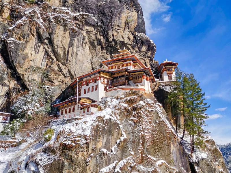
Paro Taktsang, the Tiger's Nest, clings to a cliff about 900 metres above the Paro valley. Guru Rinpoche is said to have meditated in its cave in the 8th century; the temples you visit today were first built in 1692 and rebuilt after a fire in 1998.
Paro Dzong (Rinpung Dzong)
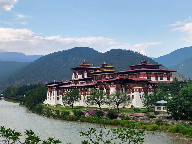
Rinpung Dzong, consecrated in 1646, is Paro's fortress-monastery: home to the district monk body and government offices, and the setting for the Paro Tshechu each spring. You reach it on foot across a covered wooden bridge over the Paro Chhu.
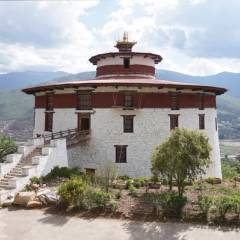
National Museum of Bhutan
Bhutan's first museum has been housed since 1968 in Ta Dzong, the round watchtower built in 1649 above Paro Dzong. Restored after the 2011 earthquake and reopened in 2020, it holds thangkas, masks, bronzes, old weapons, postage stamps and natural history displays.
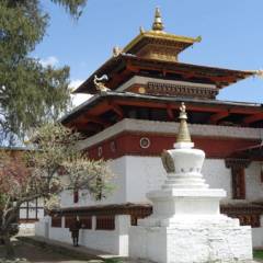
Kyichu Lhakhang
One of Bhutan's oldest temples, traditionally dated to 659 and credited to the Tibetan king Songtsen Gampo as one of 108 temples built to pin down a demoness. Its Jowo Shakyamuni statue is revered as highly as the Jowo in Lhasa. It is a few minutes' drive north of Paro town.
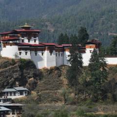
Drukgyel Dzong
Built in 1649 at the head of the Paro valley to mark victory over Tibetan invaders, the fortress of the victorious Drukpas burned in 1951 and stood as a ruin for decades. Rebuilt with traditional methods on the King's command from 2016, the work was completed in December 2022.
Planning a trip that includes Chele La Pass?
Tell us when you would like to travel. We reply within 24 hours with a free day-by-day plan and a price.

Karma ChodenOperations manager, Bhutan Tour Itinerary
Or call +975 17 81 70 52info@bhutantouritinerary.com
Mon–Sat, 9am–6pm Bhutan time (GMT+6)