Getting around Bhutan
A hundred kilometres of Bhutanese mountain road is four to five hours, not ninety minutes. Real drive times, how far to trust the domestic flights, and what the monsoon does to the one highway.
On this page
- Can you drive yourself in Bhutan?
- How long do the drives really take?
- Over Dochula: Thimphu, Punakha and Phobjikha
- Going east: Trongsa, Bumthang and Thrumshing La
- Road conditions, widening work and the monsoon
- How reliable are Bhutan’s domestic flights?
- Helicopters, taxis and getting around town
- Car sickness, seat belts and altitude
- Ask us before you lock the route
You get around Bhutan in a private vehicle with a licensed guide and a driver. There is no self-drive hire and no railway, and 100 km of mountain road takes four to five hours, which is the part people get wrong when they plan from a map.
Can you drive yourself in Bhutan?
No. The Department of Tourism’s official FAQ (opens in a new tab) puts it plainly: “It is not possible to hire a self-drive vehicle in Bhutan.” Every vehicle comes with a driver, from a rental company or a licensed operator like us. The same FAQ says a guide is mandatory for international visitors at all times, whatever looser versions circulate online.
On our trips the guide and the driver are two people: one handles temples, permits and timing, the other spends five or six hours a day on switchbacks. Tipping is customary rather than fixed; operators quote around USD 6–10 a day. Bring your own car in from India and a guide still travels with you, with the vehicle charged at Nu. 4,500 per car, per day.
The Sustainable Development Fee sits on top of transport: USD 100 per person per night for adult non-Indian visitors, USD 50 for children aged 6–11, nothing under 6, Nu./INR 1,200 for Indian nationals. The USD 100 is a 50 percent concession due to expire in August 2027 and under government review at the time of writing. Our visa and SDF guide has the detail.
How long do the drives really take?
| Route | Distance | Typical drive |
|---|---|---|
| Paro airport to Paro town | 6 km | 10–15 min |
| Paro to Thimphu | 54 km (34 mi) | 1 hr to 1 hr 20 |
| Thimphu to Punakha, over Dochula | 75 km | about 3 hr |
| Punakha to Phobjikha | 80 km | 3–4 hr |
| Paro to Haa, over Chele La | 70 km | 3–4 hr |
| Thimphu to Phuentsholing | 170 km | about 5 hr |
Average speed on Bhutan’s mountain roads is 25–35 km/h. That one number explains the rest: 100 km is four to five hours, not ninety minutes.
Map apps get Bhutan wrong by a factor of two or more. Use the times above when you sketch an itinerary, then add a buffer for photo stops.
Over Dochula: Thimphu, Punakha and Phobjikha
The Thimphu to Punakha leg climbs to Dochula at 3,100 m (10,200 ft), where the 108 Druk Wangyal Chortens were consecrated on 19–20 June 2004. On a clear morning you see Gangkhar Puensum at 7,570 m, Bhutan’s highest peak, and Masanggang at 7,194 m. Those views are mostly an October to February proposition; the rest of the year the pass is often in fog, and we say so rather than promise one.
Phobjikha lies at about 3,000 m behind the Black Mountains. Black-necked cranes arrive in late October and leave in mid-February, and power lines are banned overhead to protect them, so the valley’s electricity runs underground.
Going east: Trongsa, Bumthang and Thrumshing La
Punakha to Trongsa is about 130 km and 5–6 hours over Pele La (3,420 m), the divide between western and central Bhutan. Punakha through to Bumthang is about 180 km and 7–8 hours, crossing Yotong La at roughly 3,400 m. Bumthang back to Paro in one push is 270 km and 10–12 hours, a day we rarely recommend.
East of Bumthang the road crosses Thrumshing La at 3,780 m (12,400 ft) on the Ura to Mongar section, then drops from nearly 3,800 m to about 650 m in a few hours with sheer roadside falls most of the way down. Heavy snow often closes the pass in winter; during a closure, commercial and public vehicles are banned while private vehicles may proceed at their own risk.
Samdrup Jongkhar to Thimphu is about 700 km and a minimum of three days by road, the honest reason most eastern itineraries fly one leg.
Road conditions, widening work and the monsoon
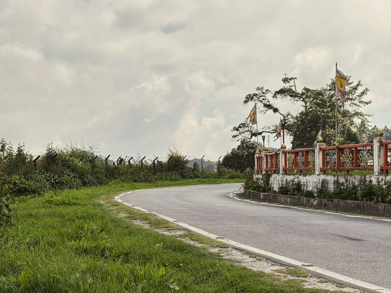
Almost everything about driving here follows from one road: the 713 km (443 mi) Lateral Road from Phuentsholing to Trashigang, begun in 1962 and still being widened section by section. The geology under it is unstable and landslides are frequent, worst in the monsoon and again in winter.
Stretches of the original road are only about 2.5 m (8.2 ft) wide and carry two-way traffic at around 15 km/h. That is the baseline the widening programme is replacing, with the Gelephu–Tareythang road and bridges project among the work running through 2026.
June to August is the monsoon, with heavy rain at lower elevations; March to May and September to November give the easiest driving, which our best time to visit guide covers month by month. In the wet season our drivers check the Bhutan RoadWatch System (opens in a new tab), run by the Ministry of Infrastructure and Transport. Crews clear blockages, but a block is a block, so we build slack into monsoon itineraries.
More visitors arrive by road than by air: in August 2026 Phuentsholing took 4,868 arrivals against Paro’s 4,588. The 24-hour SDF waiver in the four border towns covers only those zones, so you pay from day one once you drive on. Read entering Bhutan by land if you are coming from India.
How reliable are Bhutan’s domestic flights?
Four airports: Paro, the only international one, plus Bathpalathang in Bumthang, Yongphulla in the east and Gelephu in the south. Paro sits at 2,235 m (7,333 ft) with a single 2,265 m runway, ringed by peaks reaching 5,500 m. Flights operate under visual meteorological conditions and in daylight only, sunrise to sunset, with extra afternoon restrictions in windy seasons, which is why schedules skew to the morning.
Flying saves real days: Paro to Bumthang is roughly 30–45 minutes against 10–12 hours by road, and Paro to Yongphulla about an hour. The catch is frequency and weather. These are visual-flight-rules operations that cancel in cloud, and services run weekly rather than daily: Drukair added only a third weekly Paro–Gelephu flight from 2 September 2026. Monthly schedules go up as PDFs on drukair.com.bt (opens in a new tab). We book domestic sectors for you and hold a road plan behind them, because there is no railway to fall back on.
Helicopters, taxis and getting around town
Helicopter charter runs through Royal Bhutan Helicopter Services and Heli Bhutan, for transfers and scenic flights over Taktsang, Tiger’s Nest included. Fares are not published, so ask us for a quote; it earns its cost when one hop would otherwise take two driving days.
Taxis and shared taxis exist and locals use them. Druk Ride is the app that does the job a ride-hailing app does elsewhere, covering taxis, bus tickets and flights, and the official tourism FAQ points visitors to it. Thimphu runs a city bus service too.
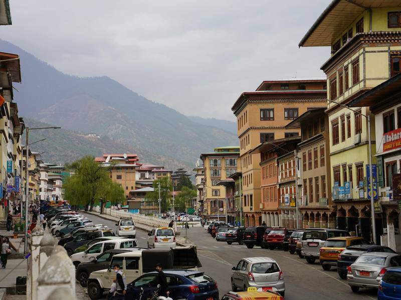
Thimphu has no traffic lights: police direct vehicles by hand at the roundabouts. This is the highest capital in Asia, between 2,248 and 2,648 m, and still a city you can cross on foot, with development plans that call for car-free pedestrian zones. Take an afternoon on foot before the long drives start.
Car sickness, seat belts and altitude
If you get carsick, tell us at booking and not on the first bend of Dochula. We put you in the front seat, work out medication timing before we leave, and break the drive more often.
Wear the seat belt in the back as well as the front: on a 2.5 m-wide road shared with eight-ton trucks, that is not a formality. Ask for a child seat at booking and it is fitted before you arrive. Altitude is rarely a problem on the road, because you cross the passes rather than sleep on them: you are over Pele La or Thrumshing La and descending within the hour. Our altitude and health guide covers the rest.
Ask us before you lock the route
Driving load is what most people get wrong planning Bhutan themselves. A week in the west is relaxed; the same week stretched to Bumthang gives you two days that are mostly windshield. Our Bhutan tours are built around real drive times: the 8-day Glimpse of Bhutan is the western loop at a sane pace, and our festival tours work backward from tsechu dates, announced each year rather than fixed.
Send us your dates and the places you want, and we will say what fits and what needs a flight or another day. Write to us and you get drive times attached to each day, not just a list of sights.